Coastal Engineering · University of Granada

Miguel Ortega‑Sánchez

Professor of Hydraulic Engineering

I study how beaches, estuaries, deltas and river mouths respond to waves, tides and river discharges — and how that knowledge can help us manage the coast in a changing climate.

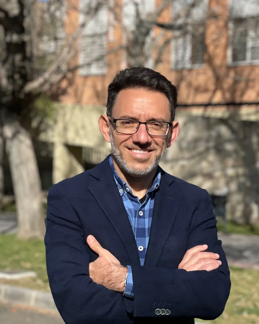
Portrait of Miguel Ortega-Sánchez
Faculty of Civil Engineering University of Granada IISTA Andalusian Institute for Earth System Research
70JCR journal articles52 in the first quartile (Q1)
40h-index4,700+ citations · Google Scholar
10PhD theses supervised6 with International Doctorate mention
46Competitive research projectsplus 50 R&D contracts

About

Understanding a coast in motion

I am Professor (Catedrático) of Hydraulic Engineering at the Faculty of Civil Engineering of the University of Granada and a member of the Environmental Fluid Dynamics Group at the Andalusian Institute for Earth System Research (IISTA).

My work combines field campaigns, remote sensing and numerical modelling to understand littoral processes and the morphodynamics of estuaries, deltas and river mouths, with a view to the integrated management of the coastal zone.

I have been a visiting scientist at Oregon State University, the Virginia Institute of Marine Science, LNEC (Lisbon) and the EPOC Laboratory of the University of Bordeaux.

Full curriculum vitae
  • PositionProfessor (Catedrático de Universidad), Hydraulic Engineering — since 2018
  • PhDCivil Engineering, University of Granada (2004). Cum Laude, European Doctorate · UGR Extraordinary Doctoral Award
  • DepartmentStructural Mechanics and Hydraulic Engineering
  • InstituteIISTA · Environmental Fluid Dynamics Group
  • NowScientific coordinator of EcoC2S (Horizon Europe – Water4All, 2025–2028) · Scientific co-coordinator of the Water4All Knowledge Hub on Aquatic Ecosystem Services (23 European projects, 2025–2028)
  • Recognition3 of 3 national research periods (sexenios) · teaching rated Excellent (UGR)
  • ServiceChair of the Congress Organising Group, 39th IAHR World Congress

Research

Research lines

From individual beaches to entire estuaries, and from storm events to decades, combining field campaigns, remote sensing and numerical modelling.

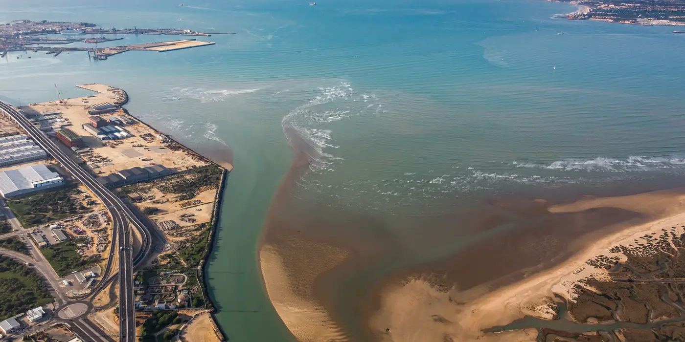
Aerial view of a river mouth and its sediment plumeEstuaries

Estuaries, bays and river mouths

Tidal and river-driven hydrodynamics, plume dynamics and morphological response of transitional systems such as the Guadalquivir estuary and the Bay of Cádiz, and the opening and closure of intermittent river mouths.

  • RESILIENCE
  • IMMINENT
Related publications
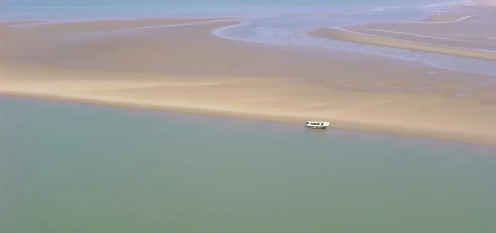
Aerial view of sandbanks and channels at a river mouthMorphodynamics

Long-term morphodynamic evolution

Efficient long-term morphodynamic modelling of estuaries, deltas and river mouths — including wave-schematization methods that preserve storm chronology to accelerate simulations — and their adaptation to climate change, from the Guadiana and the Andalusian coast to the Gironde estuary (France).

  • CLIMADAP
Related publications
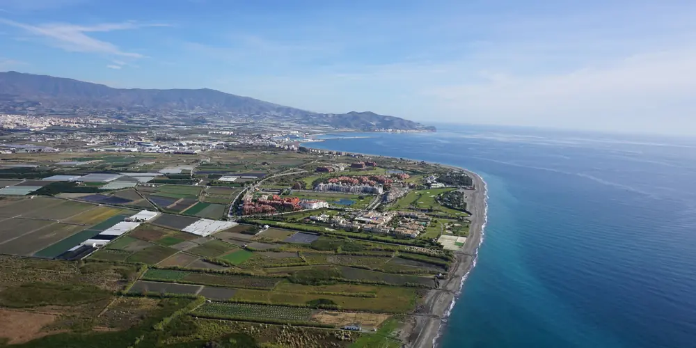
Aerial view of a low-lying coastal plain with a town by the seaClimate

Coastal flooding and climate adaptation

Compound flooding driven by sea level, waves and river discharge, sea-level rise scenarios and ecosystem-based, community-centred strategies to increase the resilience of coastal regions.

  • EcoC2S
  • PROTOCOL
Related publications
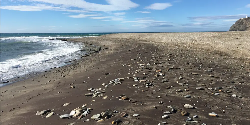
Mixed sand and gravel beach on the Mediterranean coastBeaches

Beach and shoreline morphodynamics

Morphodynamics of sandy and mixed sand–gravel beaches and deltaic coasts of the Mediterranean, shoreline undulations and storm response, with Carchuna beach as a natural laboratory.

  • MORPHAL
Related publications
Astronaut photograph of the Bay of CádizObservation

Remote sensing and coastal monitoring

Satellite imagery (Sentinel-2, Landsat), video-monitoring systems and field campaigns to track river mouths, intertidal areas and shorelines at scales from days to decades.

  • RISKCOAST
Related publications
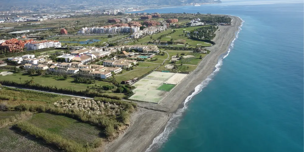
Aerial view of a developed stretch of coastManagement

Integrated coastal and port management

Knowledge-based decision-support tools for coastal zones and ports — dredging management, maritime-climate and oceanographic data software — aligned with the Sustainable Development Goals.

  • DRAGAPORT
Related publications

Projects

Ongoing research projects

All projects
Ongoing · 2025–2028
CLIMADAP

Integral analysis of climate change impacts on transitional coastal systems considering their morphodynamic adaptation

Funding
Ministry of Science, Innovation and Universities (Spain)
PI
Alejandro López Ruiz · Carmen Zarzuelo Romero
Ongoing · 2025–2028Scientific coordinator
EcoC2S

Ecosystem services to enhance the resilience of coastal regions and communities to flood risks in a catchment-to-sea perspective

Project website
Funding
EU Horizon Europe – European Partnership Water4All (2023 Joint Transnational Call)
PI
María Bermúdez Pita (project coordinator)

Publications

Recent articles

All 146 publications
  • Sea-level rise is projected to reshape compound flooding potential in microtidal environments along the Spanish Mediterranean coastline

    Jiménez JA, Del-Rosal Salido J, Giaroli F, Lira-Loarca A, Ortega-Sánchez M, Sanuy M, Silva-Santana M & Bermúdez M (2026)

    Communications Earth & Environment 7, 807.

  • Automated detection of river mouth opening and closure using cloud-based processing of Sentinel-2 imagery

    Silva-Santana M, Bermúdez M, Del-Rosal-Salido J & Ortega-Sánchez M (2026)

    Estuarine Coastal and Shelf Science 340, 110052.

  • Longitudinal wave power as a proxy for coastal change detection

    Aragón A, Ferreira O, López-Ruiz A & Ortega-Sánchez M (2026)

    Natural Hazards and Earth System Sciences 26, 2065-2088.

  • Monitoring intertidal ecosystems: Assessing spatio–temporal variability with Sentinel-2 and Landsat 8

    Zarzuelo C, López-Ruiz A, Bermúdez M, Ortega-Sánchez M & Caballero I (2025)

    International Journal of Applied Earth Observation and Geoinformation 142, 104676.

Fieldwork

From the field

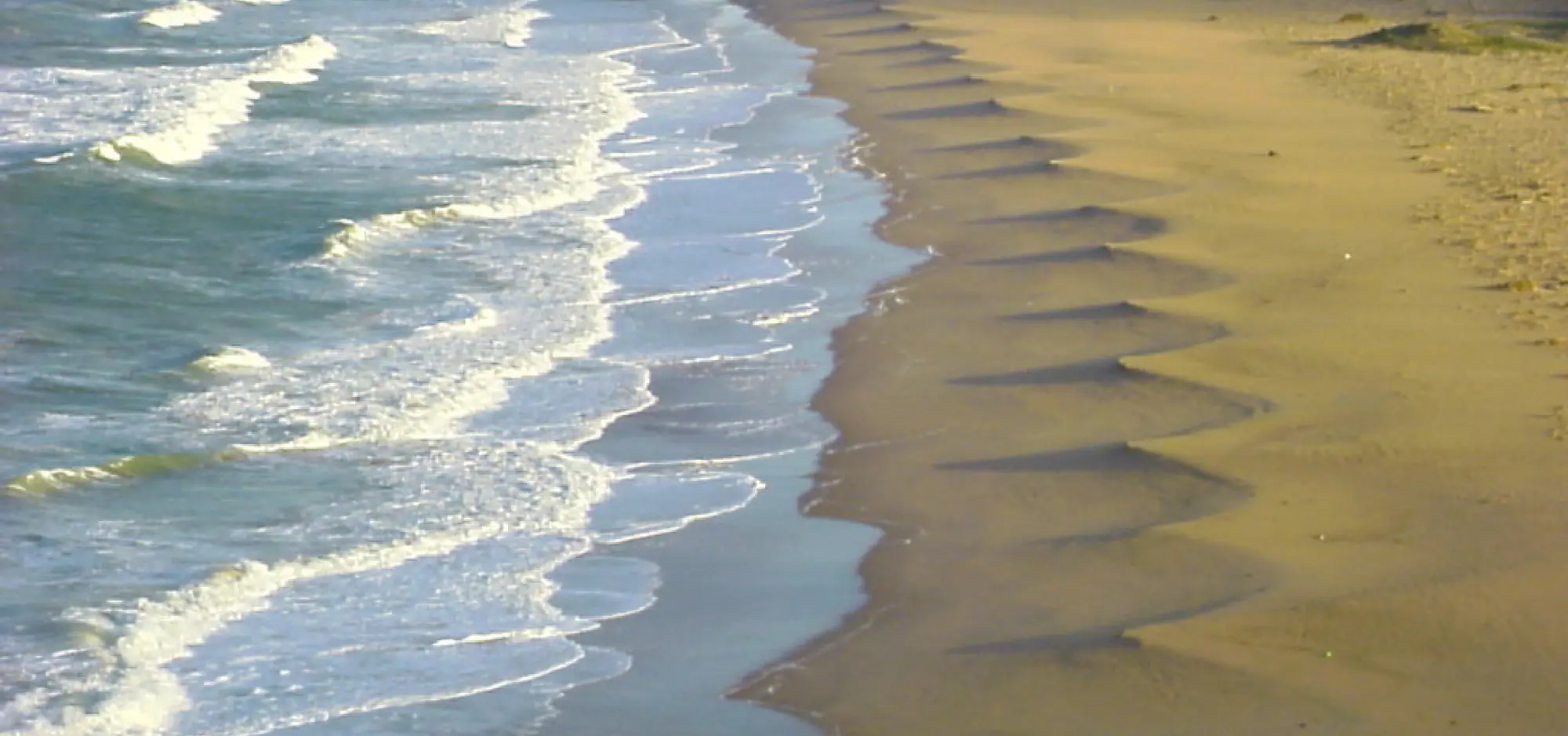
Coastal features observed during field campaigns, mostly along the Andalusian coast.

Contact

Get in touch

Prospective PhD and master's students interested in coastal processes are welcome to write.

Contact details

Email & phone

miguelos@ugr.es
(+34) 958 241 393

Office

ETS Ingenieros de Caminos, Canales y Puertos
Office 20, 4th floor · C/ Dr. Severo Ochoa s/n
18071 Granada, Spain

Office hours

Monday and Wednesday, 9:00–13:00
Other times by appointment via email